Photography Tutorial · 2021-11-07
Drones Aren't Just for Top-Down Shots: Finding the Best Angle from the Air
Thomas Chu Photo
Are drones only good for top-down aerial shots?
Today Thomas shares how he finds drone viewpoints. I've found that the best altitude is often not 300-500 meters, but just 3-5 meters.
And we should make full use of the drone's mobility to search for better foregrounds and compositions.
Video Tutorial
▶ Watch the video tutorial on Bilibili
This is the illustrated companion to the video above. When the Mavic 3 launched, Thomas skipped the spec talk and shared his experience as a working photographer: don't be shackled by the word "aerial" — a drone is a camera that reaches any angle and any position, and the best altitude is often not 300-500 meters but just 3-5. Sorted in the video's order, with screenshots from the flight app.
01 Don't Let the Word 'Aerial' Fence You In
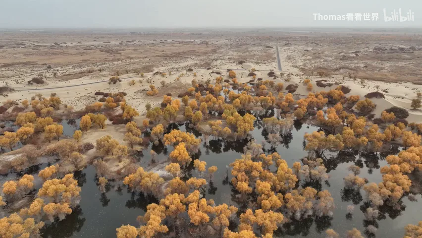
Drones unlocked a view of the world from the sky, yet many photographers are fenced in by the word "aerial": launch, climb, and sweep the land from a high top-down angle. Thomas defines the tool completely differently — a drone is a wonderfully free camera that reaches any angle, any position, any composition; light and nimble, it works in the folds of mountains and rivers, in mid-air places only a drone can reach (at 0:49 in the video). Flown this way, it feels no different from shooting on the ground.
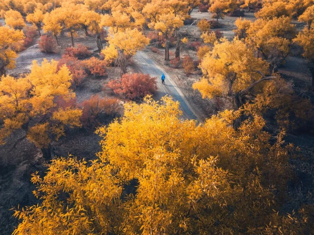
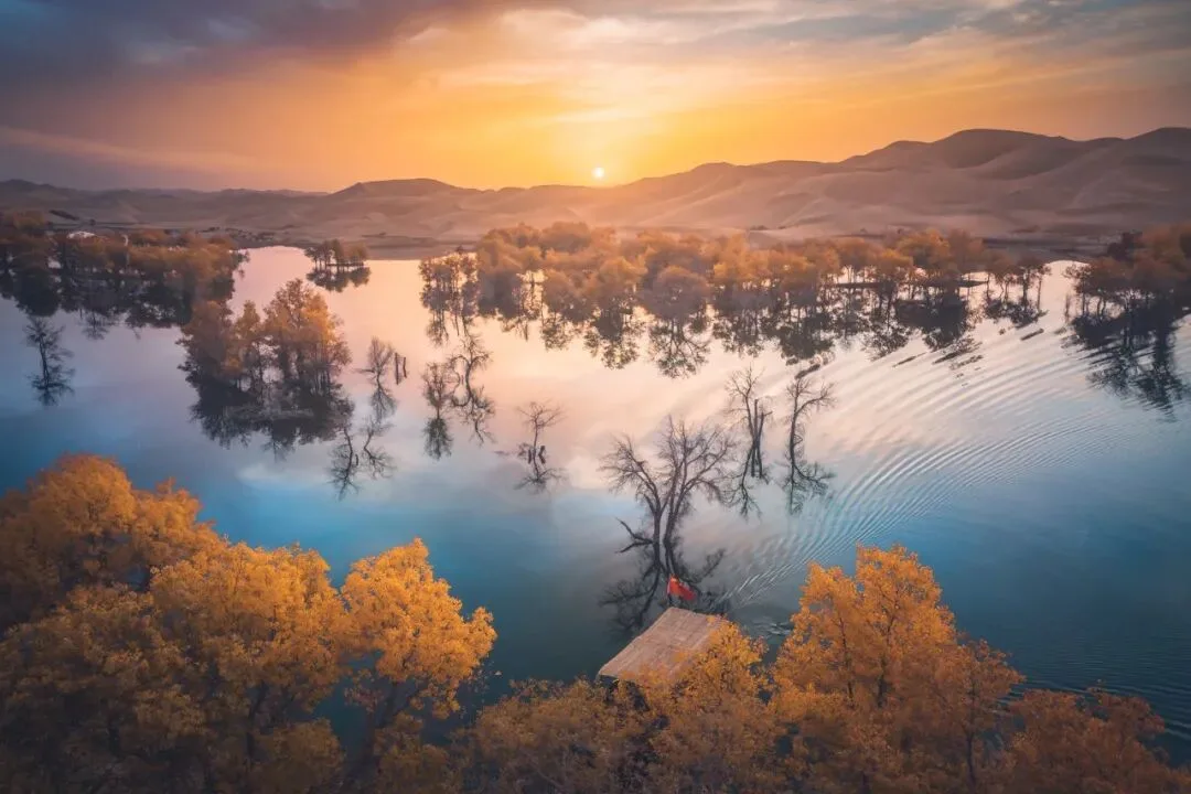
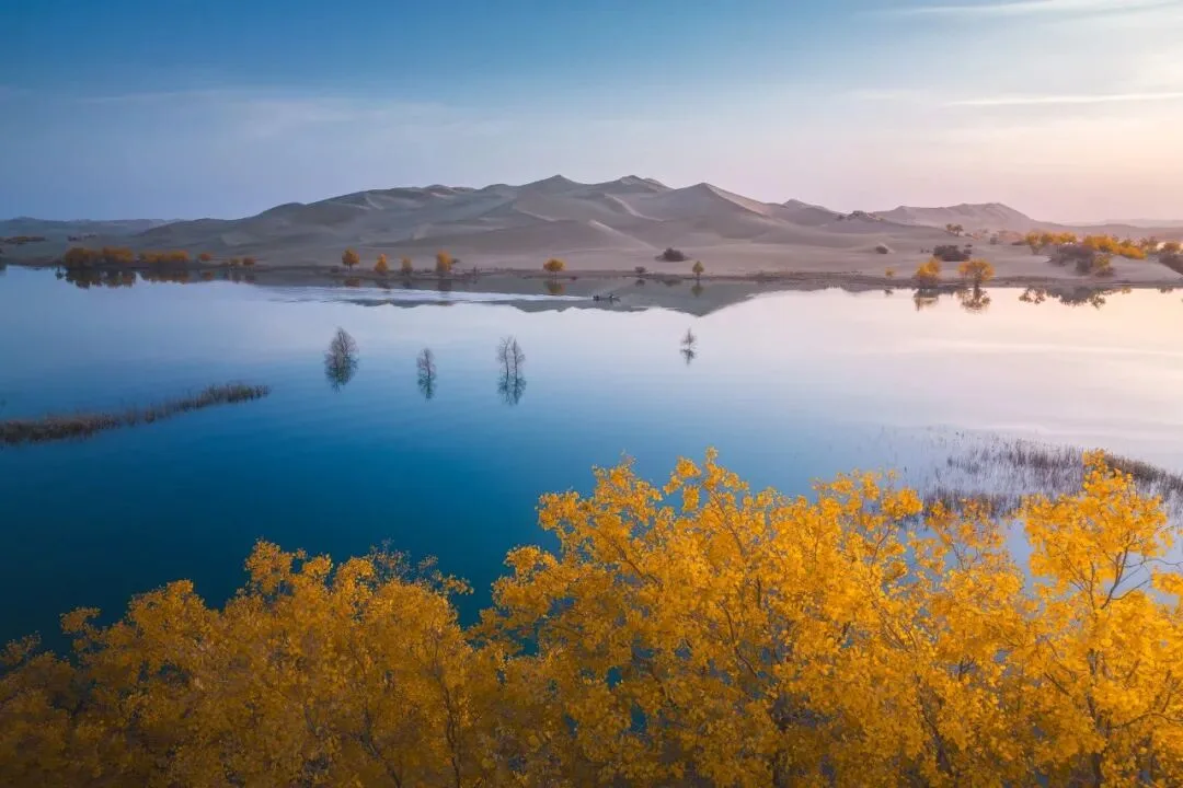
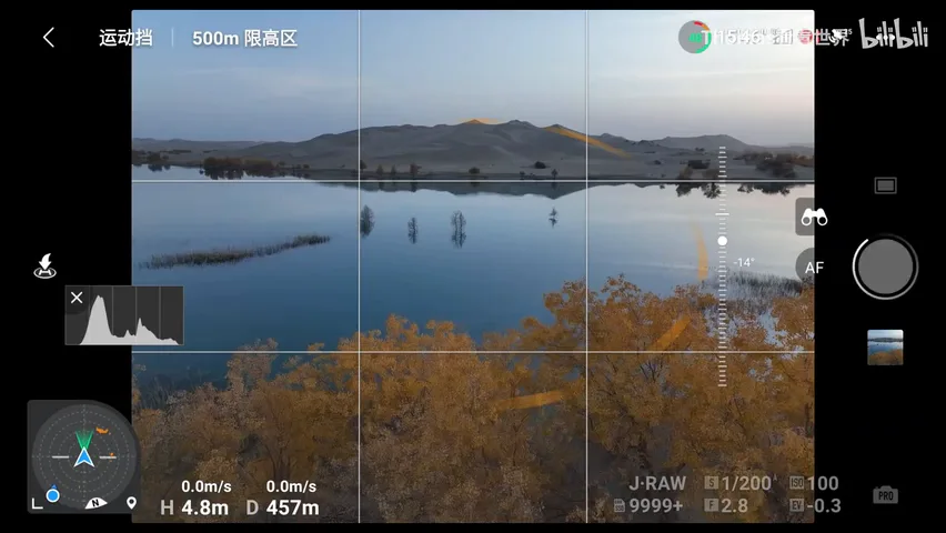
Take riverside poplars. The routine move is to fly high and swallow the whole golden forest in one frame — which usually reads as clutter (at 1:19 in the video). Better: find trees at the water's edge with clean surrounds — bare ground or desert behind — and the picture instantly simplifies. Then borrow a ground-shooting instinct: we use rocks, grass and flowers as foregrounds, so why not a blanket of clean autumn yellow leaves?
02 Flying Low: Foregrounds and Frames
Fly the Mavic 3 straight into the grove: obstacle-avoidance warnings pop up constantly, distances ticking on screen — smart, but when the best angle demands closeness, get close. Autumn leaves become the foreground, a picture no ground shot could take (at 1:51 in the video). Another frame catches a cotton convoy in a Xinjiang field: a tree happens to form a frame wrapping the tractor and the road, and the shutter waits for the exact moment the trucks roll in (at 2:09 in the video).
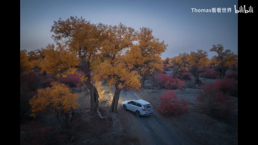
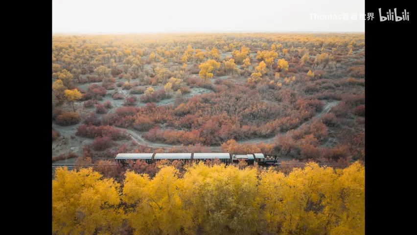
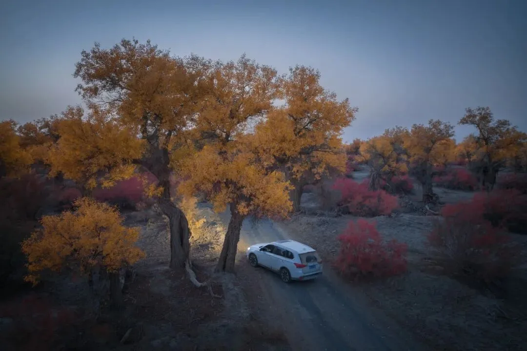
The shared idea: use the drone's lower altitudes to find the right foreground and framing first, then shoot; some positions come within arm's reach of the ground (at 2:26 in the video). Why not just use a camera this low? Because the drone's search efficiency is unmatched — park the car, launch, and every tree within three or four kilometers reveals itself. It doesn't have to climb to four or five hundred meters; at three to five meters it is at its most convenient and most productive (at 2:54 in the video).
03 The Precise Altitude: Neither More nor Less
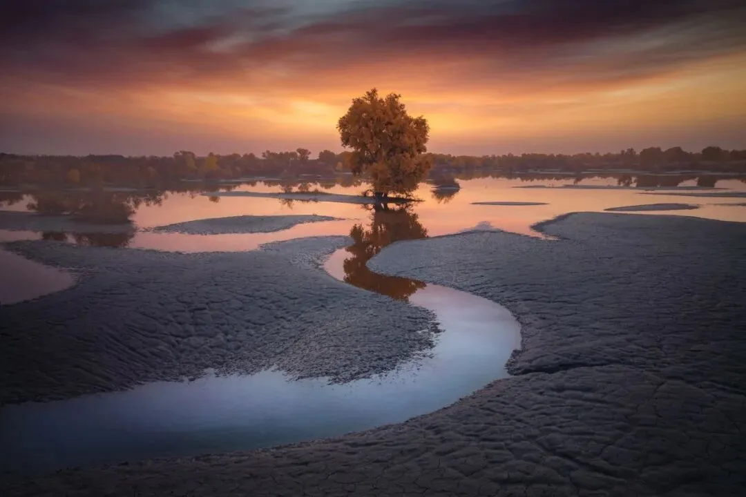
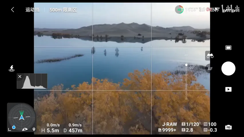
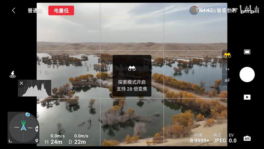
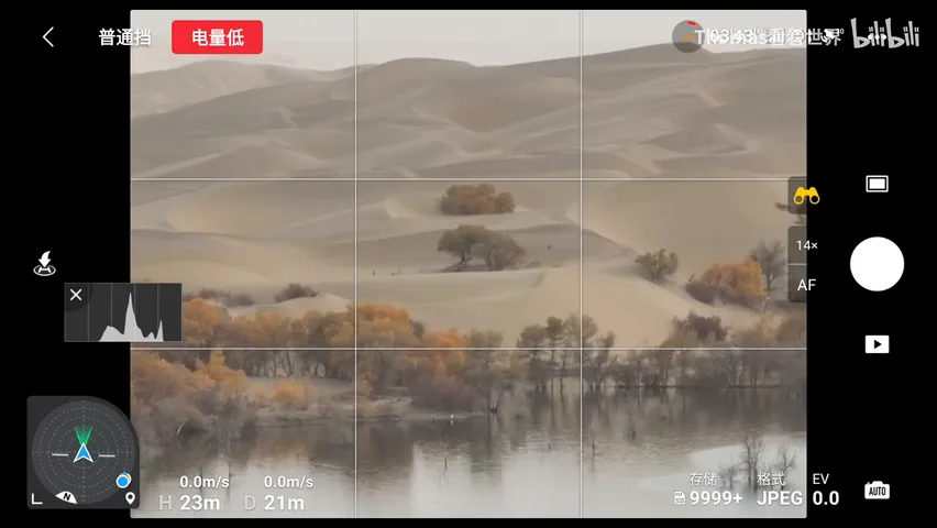
Lower isn't automatically better — it must be exact. Take a photo of an S-shaped waterway: too high and the background turns to chaos; too low and the S-curve can't unfold in the frame. The drone's real value is holding precisely the altitude where the curve completes itself against a clean background (at 3:03 in the video). The flight-app screenshots make it visible: the altitude readout sits at three to five meters, the water's path already legible in the composition.
04 Mobility: A Scouting Machine
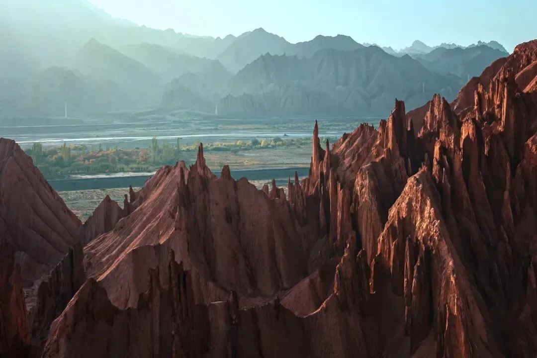
Drones also find the light. For a photo of red-rock mountains, the takeoff point was on the highway across the way, and Thomas flew the drone 1.5 kilometers over; at sunset he deliberately chose back- and side-light — low-angle light that sculpts the mountain's layers best (at 3:22 in the video). A viewpoint that would demand hiking to the far ridge is a few minutes' work for a drone.
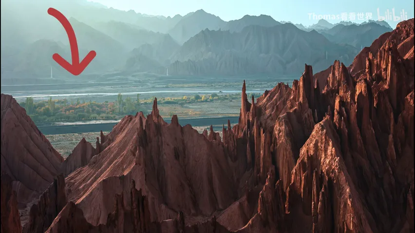
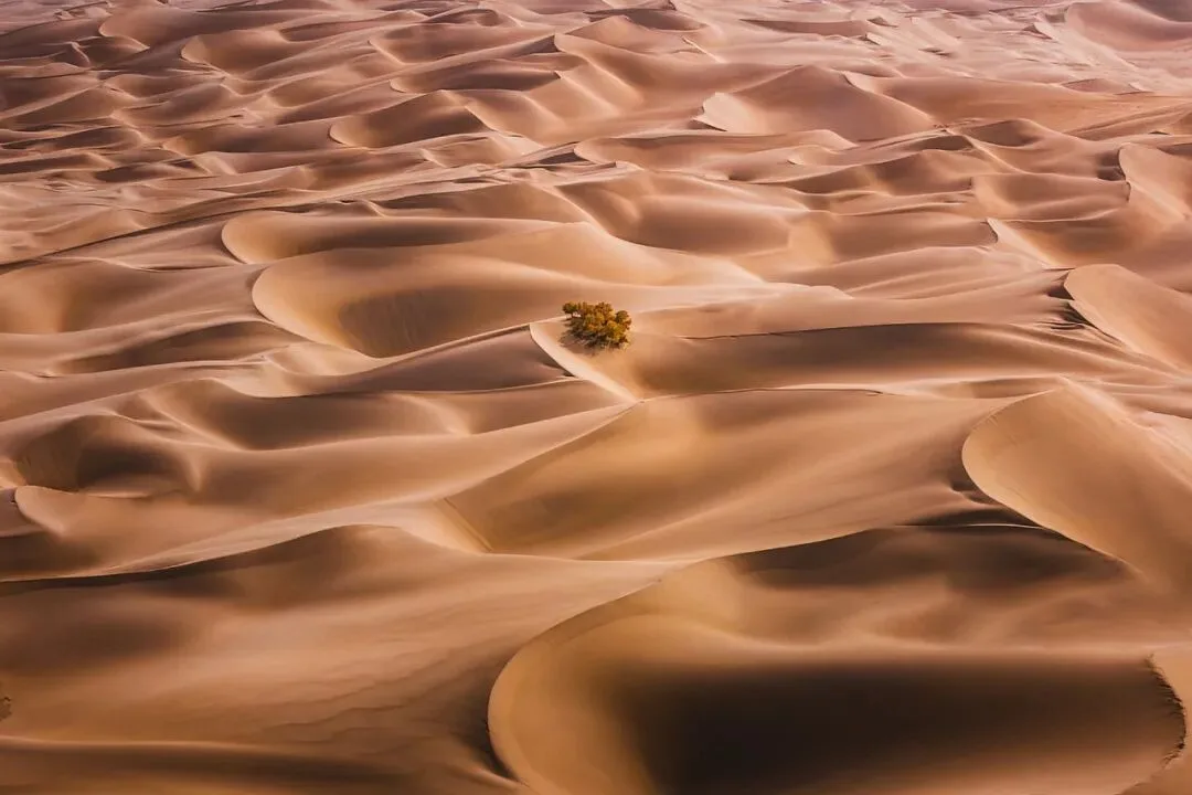
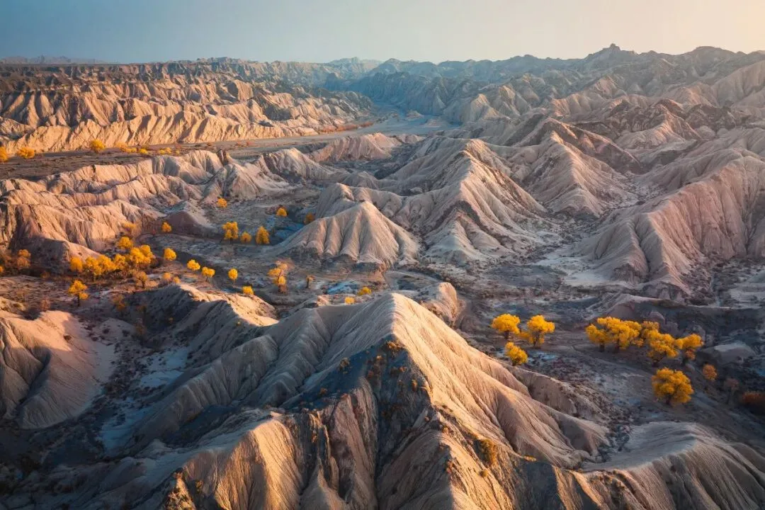
Photographers now also use drones as scouting tools: on arrival at sunset, launch and sweep the surroundings first. Shooting at Hulu Island in Yuli County, the nearby dunes were trampled with footprints and the trees dense, so Thomas used the Mavic 3's telephoto to scan distant dunes — hunting for a clean patch, or an isolated poplar or shrub clump in the sand, which makes an exceptional viewpoint (at 4:13 in the video). Telephoto quality still has room to improve, so he simply flew the drone over and took the picture up close — the perspective is spectacular. Whether you end up walking in or shooting from the air, letting the drone find the best angle first is the modern workflow (at 5:00 in the video).
05 Classic Aerials Still Matter
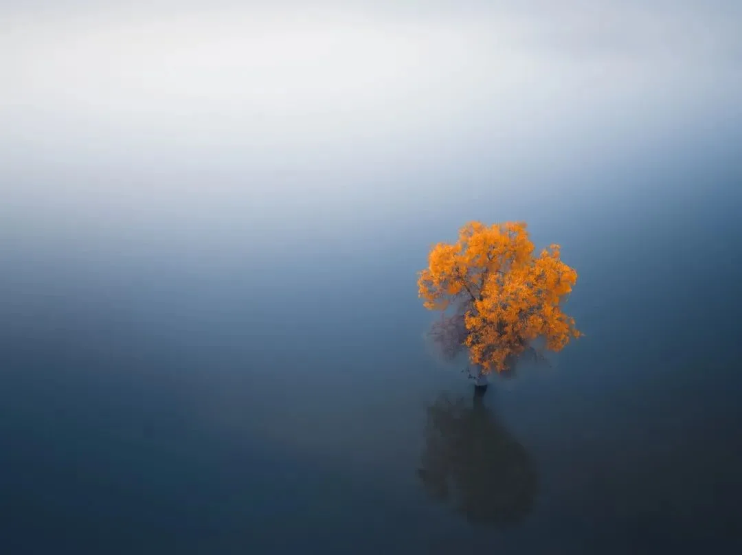
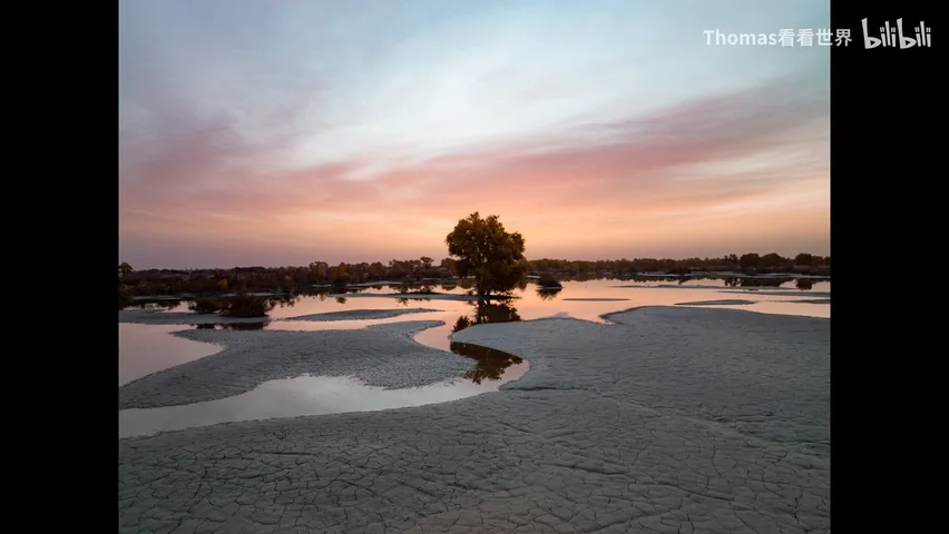
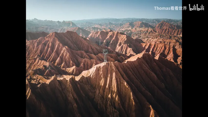
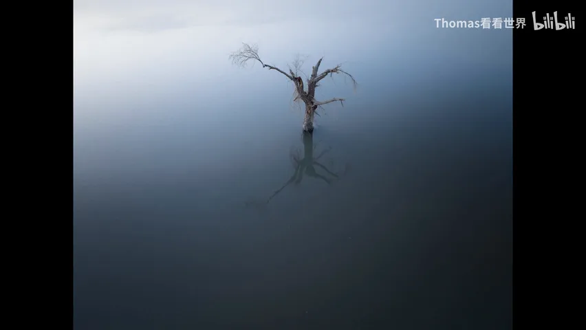
Championing low flight doesn't retire the classics. On the same trip Thomas also shot the sweeping bird's-eye of a canyon, dawn light on the river, and minimalist frames — like a single poplar on the water, flown to an altitude with no sky at all, letting the minimal composition stand alone (at 5:23 in the video). Low and high aren't rival techniques; they're different tools in one box. Decide what you want first, then choose how high to fly.
1. A drone is not a top-down machine; it's a free camera that reaches any angle and any position; 2. The best altitude is often three to five meters — low flight brings foregrounds, frames and emotion, though too high turns messy and too low cuts off the scene; precision is the point; 3. Use the mobility: fly into groves for foregrounds, cross to the far ridge for light, and scout from the air before every shoot; 4. Classic bird's-eyes and minimalism still matter — decide the expression first, then the altitude.