Photography Tutorial · 2021-07-30
Learning Photography Through Games? Composition and Color Matching Work the Same Way
Thomas Chu Photo
Can you actually learn photography by playing games? Absolutely!
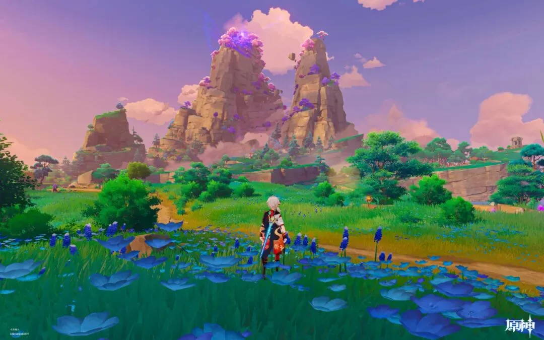
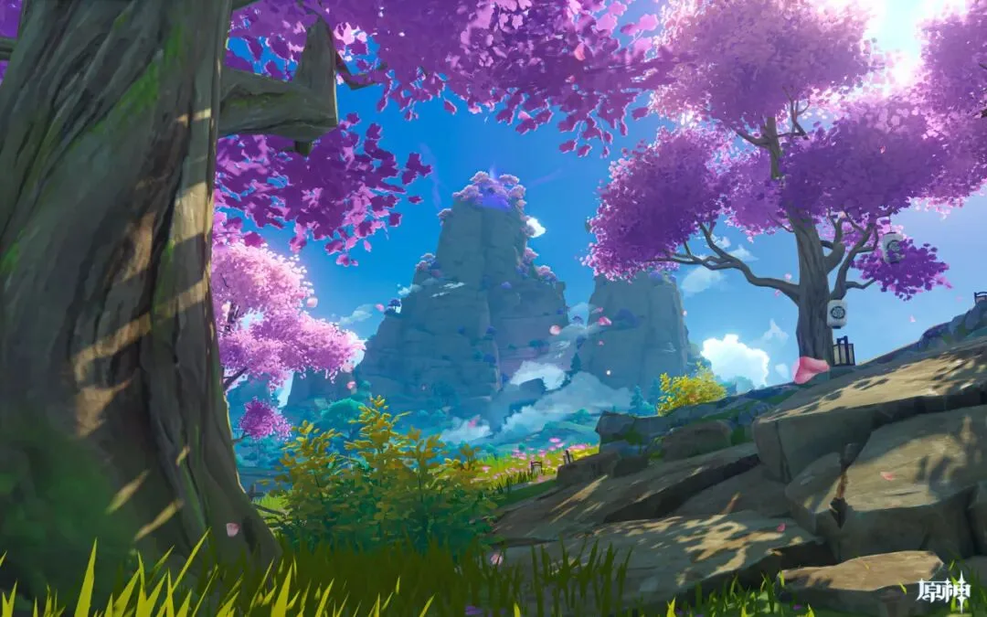
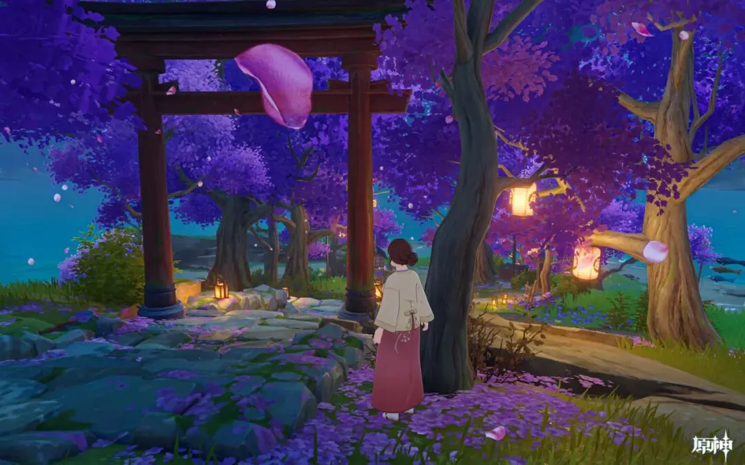
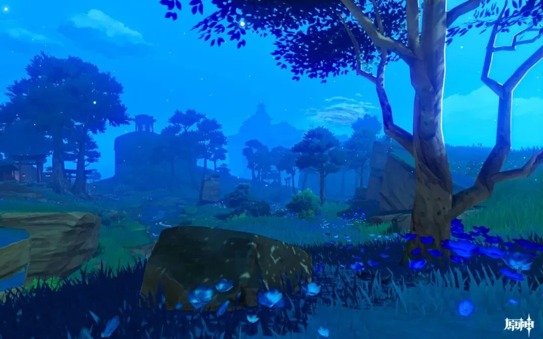
During the pandemic, going out was inconvenient — but touring famous mountains and rivers in games was unaffected. Many open-world games have complex maps and varied terrain, and you can quickly change light, weather and viewpoint, making them perfect for photography exploration and composition practice.
In today's tutorial, Thomas shares many ideas and techniques in Genshin Impact's new Inazuma map: drone scouting + on-site composition + timing + color matching!
Video Tutorial
▶ Watch the video tutorial on Bilibili
This is the illustrated companion to the video above. Experienced landscape photographers can spot dozens of potential compositions from satellite and contour maps alone — so with travel limited, Thomas ran the full workflow of 'map scouting, on-site checking, composing and shooting' inside Genshin Impact's Dragonspine and Wangshu Inn areas. The map logic mirrors real satellite imagery, and the method transfers to real expeditions unchanged.
First the underlying logic: a landscape frame usually has foreground, midground and background. Foregrounds — flowers, a boulder — cannot be found on a map, but midgrounds and backgrounds can be fully planned on one, and that is the starting point of the whole method (at 0:40 in the video).
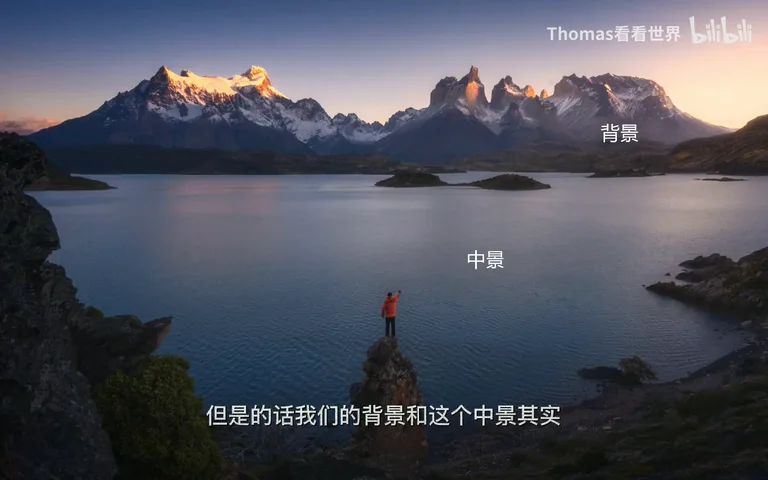
01 Map Scouting: Locking Midground and Background
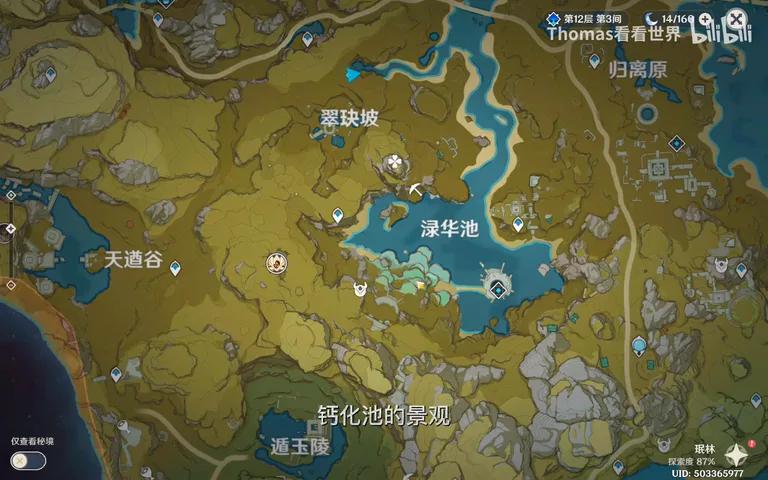
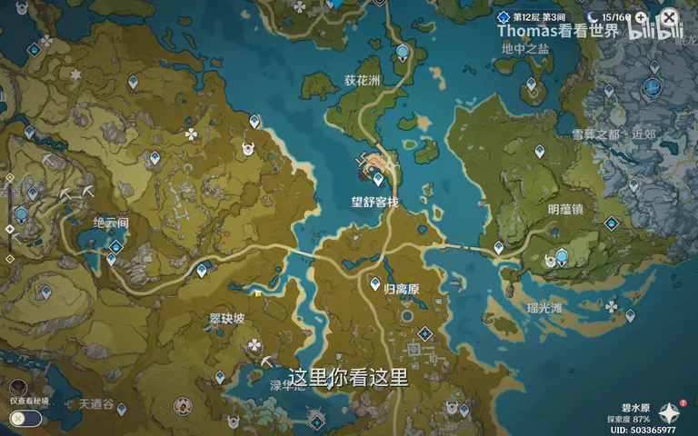
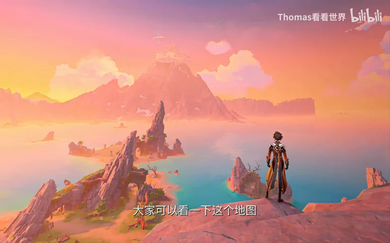
Dragonspine was chosen as the background. Scanning eastward on the map, Thomas quickly spots a terraced, calcified-pool-like shoreline reminiscent of Sichuan's Huanglong, with snowy cliffs nearby for midground — shoot the pools as midground and close on the peak, and the spot has promise (at 1:12 in the video). In reality such a point might cost a day or two of scouting; in the game you teleport over and walk in.
On the ground it becomes ordinary scouting: step closer to the cliff edge, nudge the position — the judgment process is identical in game and reality (at 1:45 in the video).
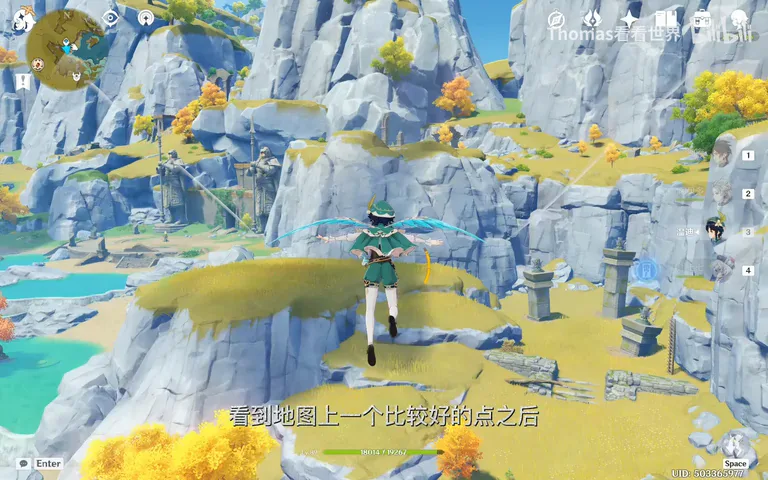
02 Composing: The In-Game Camera as Viewfinder
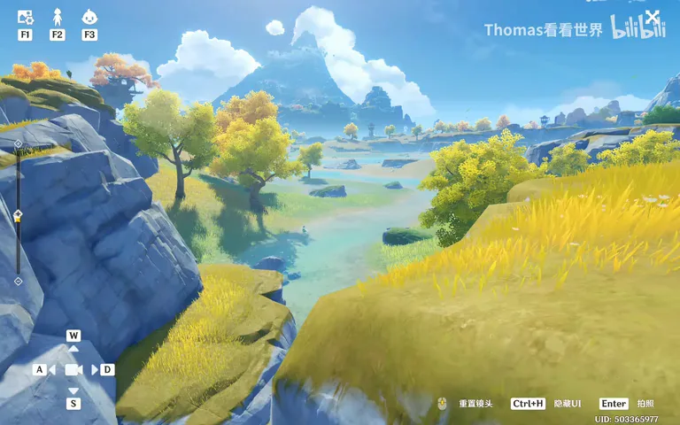
The game's photo mode is a ready-made viewfinder: open the interface, hide the character, adjust focal length and height, and the layered scene of pools, trees and distant snow peak composes itself — one keypress and the shot is taken (at 2:14 in the video). In the field this corresponds to the final framing tweaks at the spot.
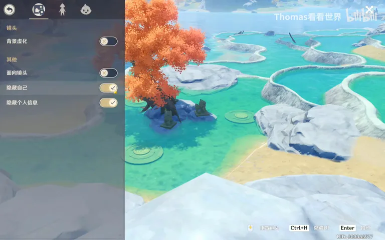
03 Wangshu Inn and a Sunrise Meadow
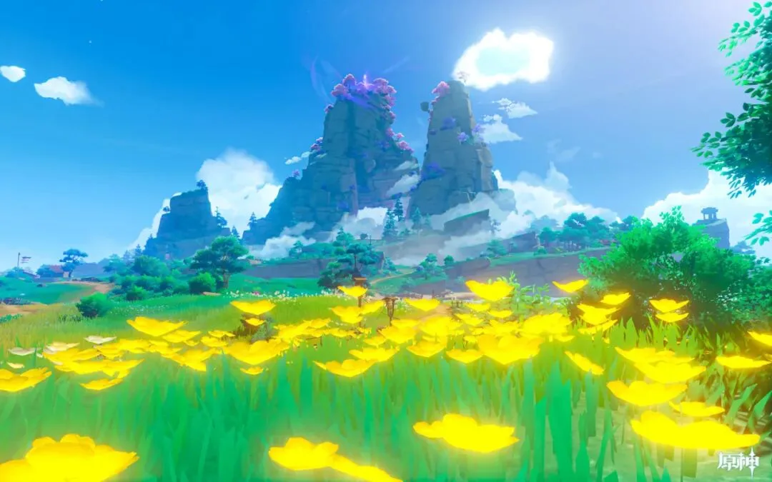
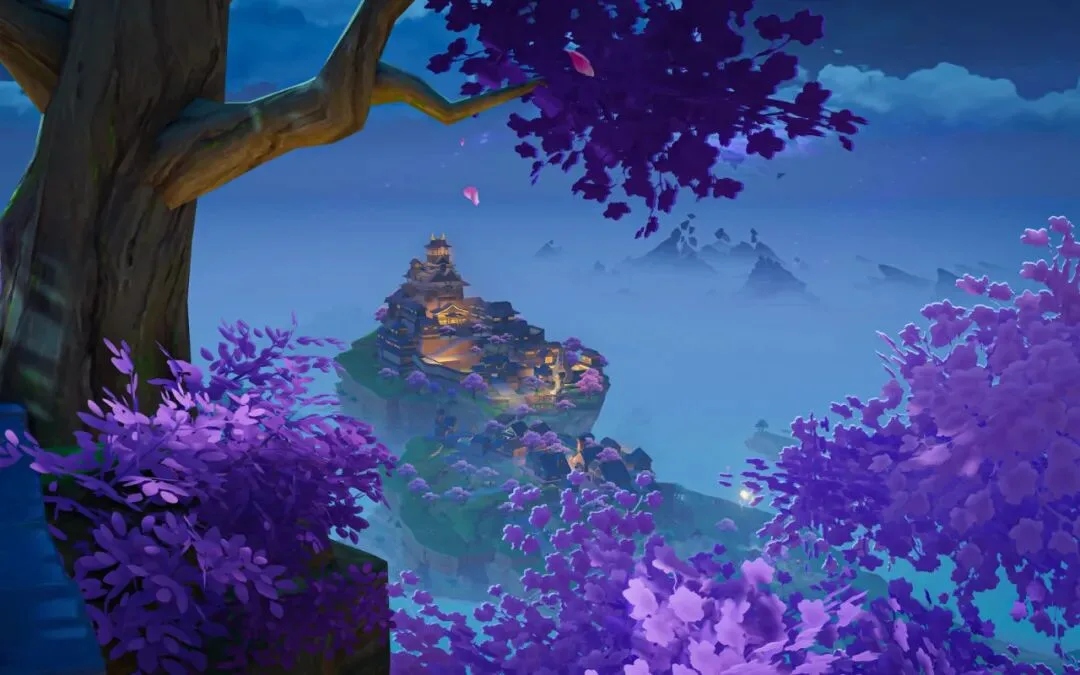
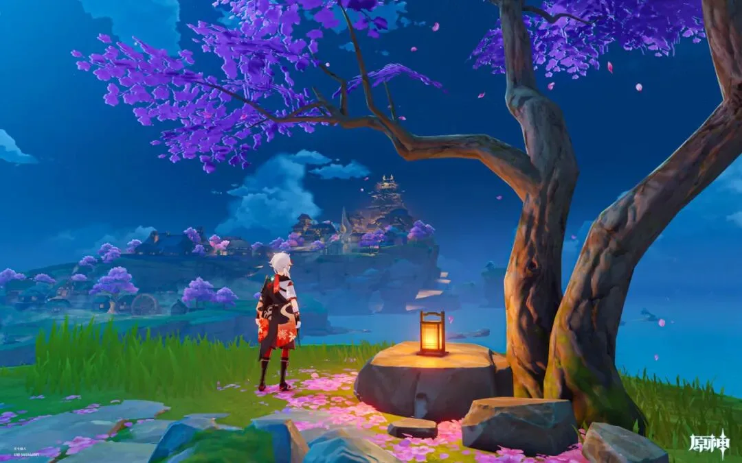
The second target was Wangshu Inn itself: best framed from the cliffs behind, ideally from a jutting rocky crag, and the map also reveals a combination of bridges, lake islands and the snow peak — another spot you can call from the map alone (the map analysis around 1:45 in the video). On site, a patch of dandelions turns up as a natural foreground — a bonus only scouting can find (at 3:34).
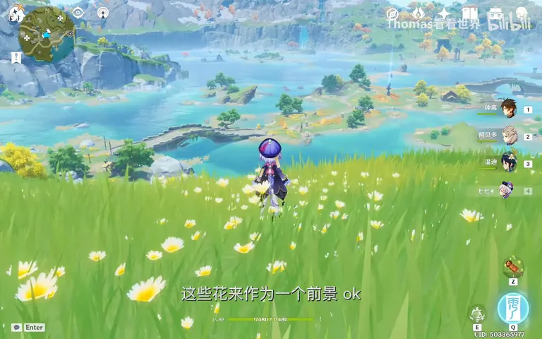
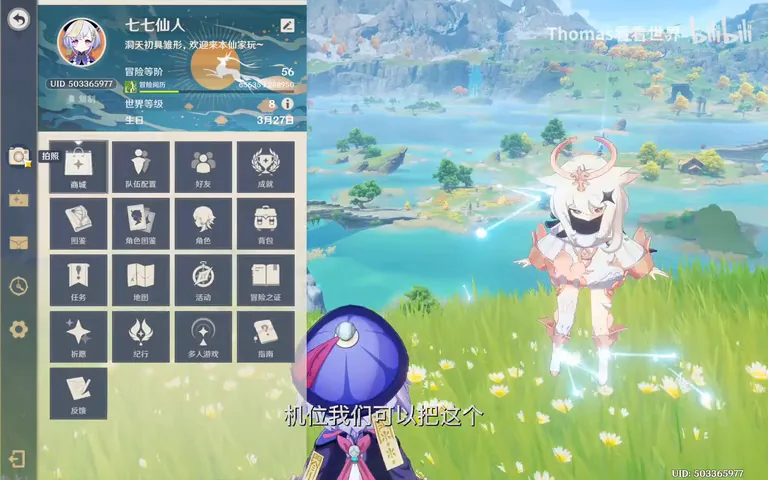
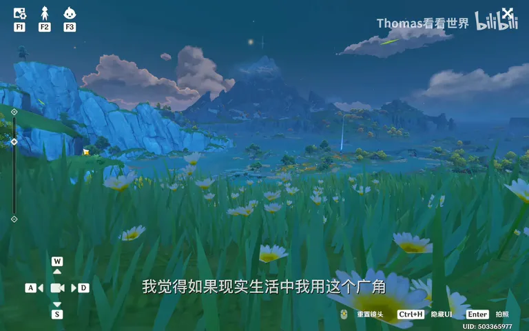
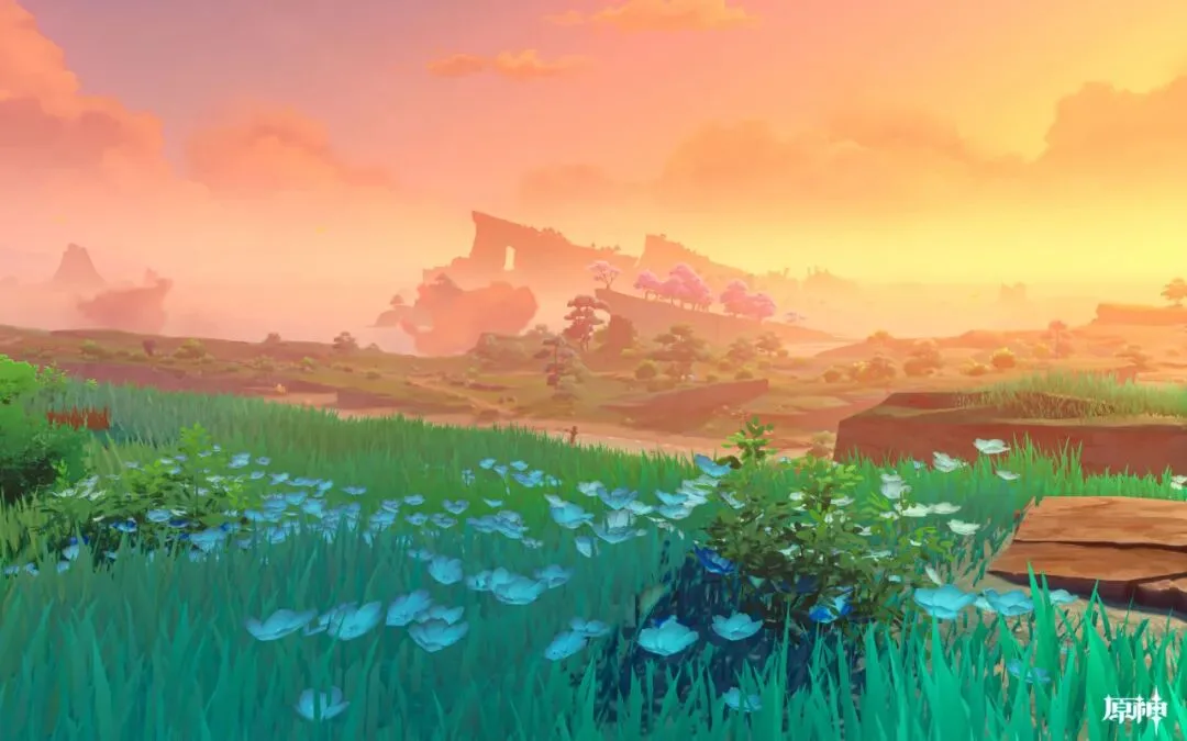
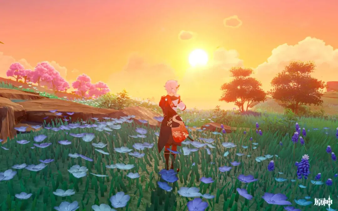
The game holds one advantage reality lacks: time is adjustable. In real life you would lodge at the inn and climb in the dark for sunrise; here, simply set the clock to five the next morning and the sunrise light appears at once — trip the shutter quickly (the time menu at 3:52 in the video).
04 Hunting an S-Shaped River
Thomas often frames snow peaks with a winding river in front, so he searched the map around the mountain: one stream faced the wrong way and was rejected; a closer look revealed an S-shaped river running straight toward the peak — candidate number three (at 5:20 and 5:36 in the video).
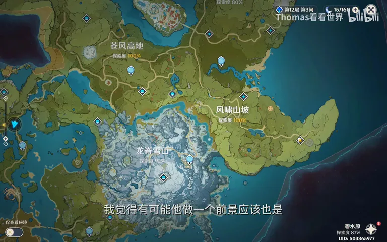
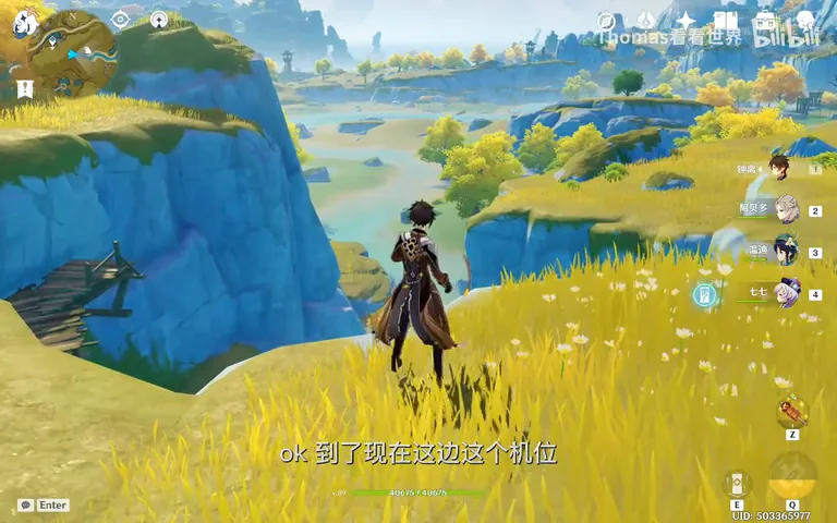
Field verification remains a process of elimination: the left hill blocked the peak, so move right; trees then hid the river's bends, so ease forward and hug the cliff — until the S-shaped river flowing to the mountain finally lines up (at 6:40 in the video). The video closes with several map-versus-final-image pairs worth studying one by one (at 7:09).
The workflow distills to three steps: lock the background-midground combination on the map; scout on site for the foregrounds no map can show; then choose the time and light your subject demands. Next time you plan a real location, do this homework on the satellite map first.
1. Of a landscape's three layers, midground and background can be fully judged from maps — satellite and contour imagery are spot libraries; 2. Foreground is the gift of scouting: flowers, boulders and an S-bend in a river only reveal themselves on site; 3. A position is found by elimination — blocked peaks and obstructing trees, eased aside until the alignments click; 4. Time and light are the final step of the craft — and for sunrise, an extra night's stay and an extra climb are always worth it.
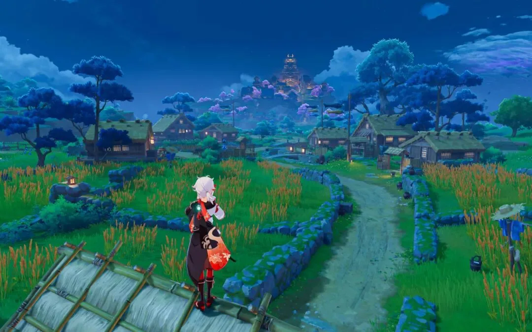
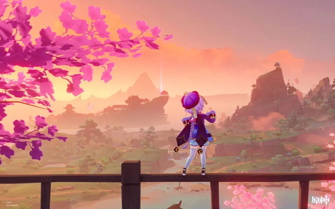
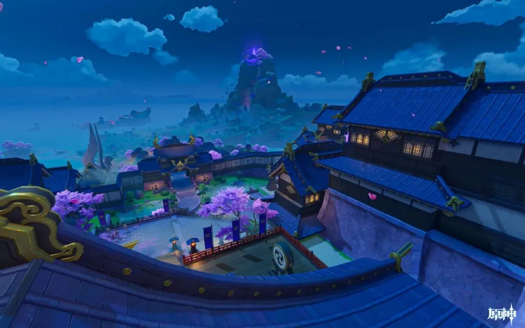
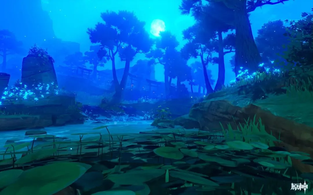
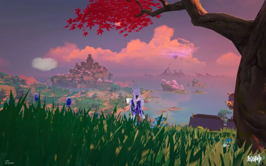
Sample shots from the video