Photography Tutorial · 2021-05-16
Finding Great Photo Spots with Just a Map? Can a Pro Find Stunning Locations in a Game?
Thomas Chu Photo
Experienced landscape photographers can often discover superb shooting spots using only satellite or contour maps — what are their tricks?
In today's tutorial, I'll use an open-world game to demonstrate how, with only the in-game map, one can quickly discover many potential shooting spots.
After exploring them in person, how did photos of these places actually turn out?
Video Tutorial
▶ Watch the video tutorial on Bilibili
This is the illustrated companion to the video above. Seasoned landscape photographers can lock onto superb vantage points from satellite or contour maps alone — can that skill be unpacked and learned? Using the open-world game Genshin Impact, Thomas runs a complete demonstration: pick candidate spots from the map only, then walk in, verify, adjust, and shoot. The article follows the video's order, with keyframe screenshots throughout.
01 Foreground, Middleground, Background: What a Map Can Tell You
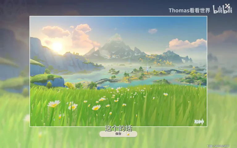
The familiar structure of a landscape holds: foreground, middleground, background (at 0:26 in the video). The crucial point: foreground elements — flowers, grasses, a single rock — can never be found on a map; but middlegrounds and backgrounds — a river, a lake, a snow mountain — usually can. That fact shapes the whole map-reading approach.
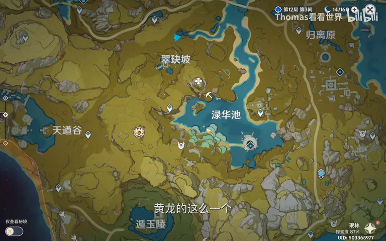
For this demo, Thomas first locks the in-game Dragonspine mountain as his background (at 0:45 in the video), then opens the map to study its east side: there lies a landscape of travertine pools much like China's Huanglong, backed by cliffs and ridges. Shooting from those pools toward the distant snow mountain promises both depth and color — a promising spot emerges straight from the map.
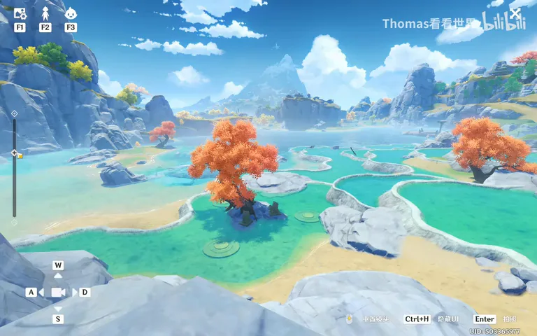
02 From Map to Field: Verify and Adjust
The game's advantage is instant arrival: spot a good point on the map, teleport to the nearest waypoint, walk over, and scout and shoot; in reality the same loop might cost you a day or two (at 1:30 in the video). On site, the snow mountain stands right in the distance and the vantage works as expected; stepping a little closer to the cliff tightens the composition.
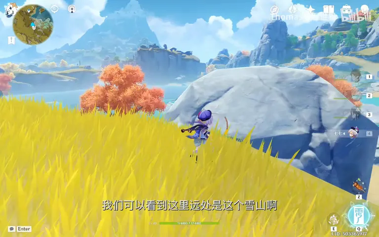
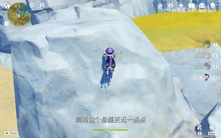
Then enter photo mode: hide the character and interface, adjust the focal length, raise the camera slightly — the layering of travertine pools and the snow mountain blooms instantly, and a press of Enter takes the picture (at 2:09 in the video). That is how map reading and on-site fine-tuning connect.
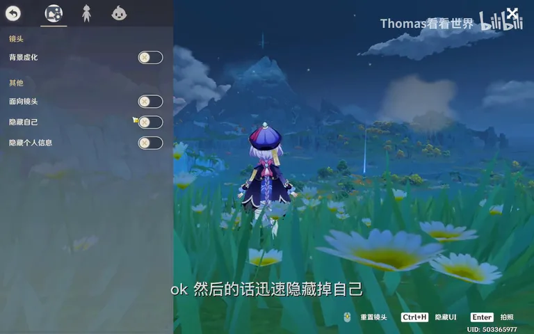
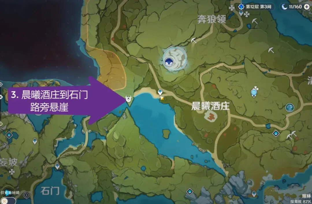
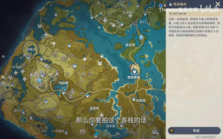
The map also surfaces subjects in batches (at 2:45 in the video): to photograph Wangshu Inn, look for cliffs or rocky peaks on the range behind it and drop pins on the map; in the bridge district, the bridge itself is a fine middleground, the islands photograph well, and the snow mountain fills the background — analyze on the map first, then verify each spot in the field.
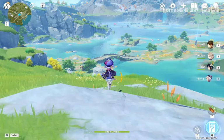
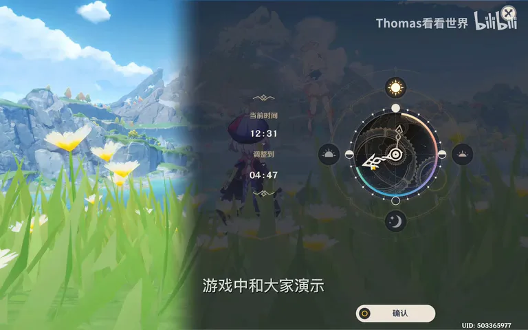
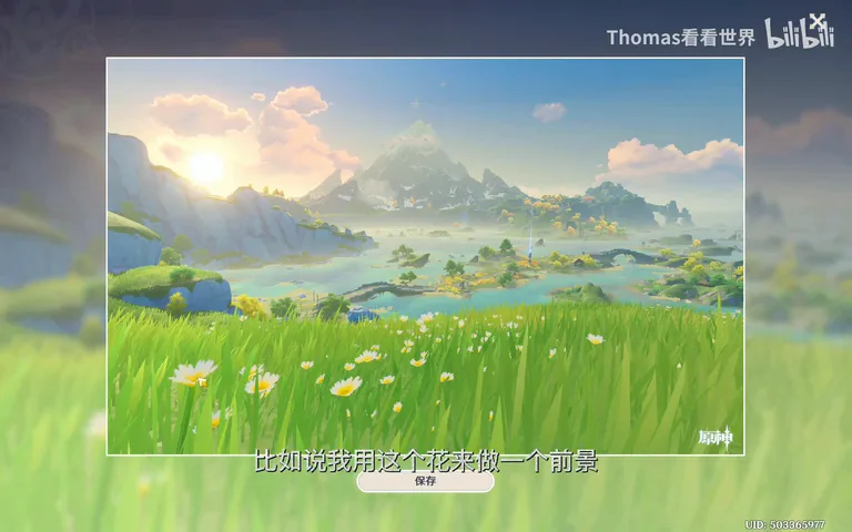
At the bridge spot, wildflowers on site make a natural foreground (at 3:31 in the video). Better still, the game lets you jump time to 5 a.m. the next day for sunrise — which in reality means an overnight stay at Wangshu Inn and a pre-dawn climb; the game rehearses the same plan in minutes, confirming that this spot at this hour truly works.
03 The S-Shaped River: Reading Lines on a Map
Thomas often pairs snow mountains with a winding river, so he searches Genshin's map for one that faces the peak (at 5:03 in the video): a road might work as foreground; one winding stream flows the wrong way — no good; look closer, and an S-shaped river stretches straight toward the mountain. That is the next shooting spot.
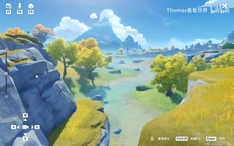
Field verification is again a round of elimination (at 5:45 in the video): the hill on the left blocks the mountain — move right; trees on the right clip the river's curve — edge forward, closer to the cliff — until the frame finally holds the river winding in an S from the cliff all the way to the snow mountain. The map gives you direction; the field gives you the last meter.
04 A Spot Library: More Possibilities Around One Mountain
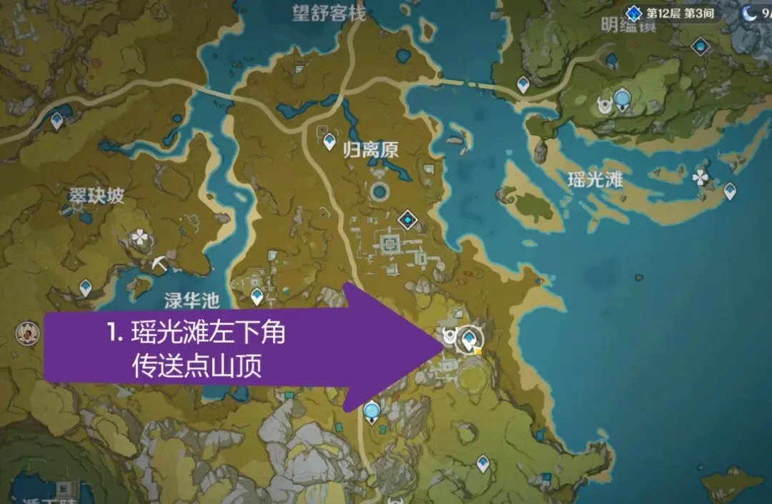
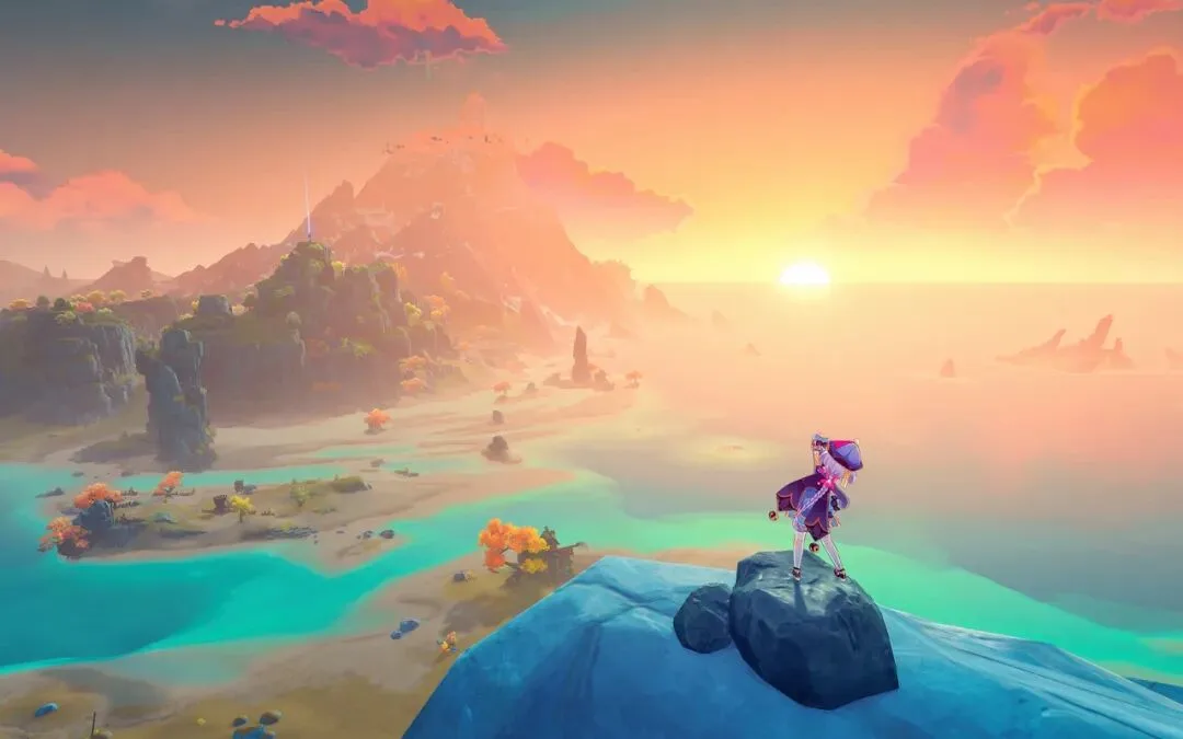
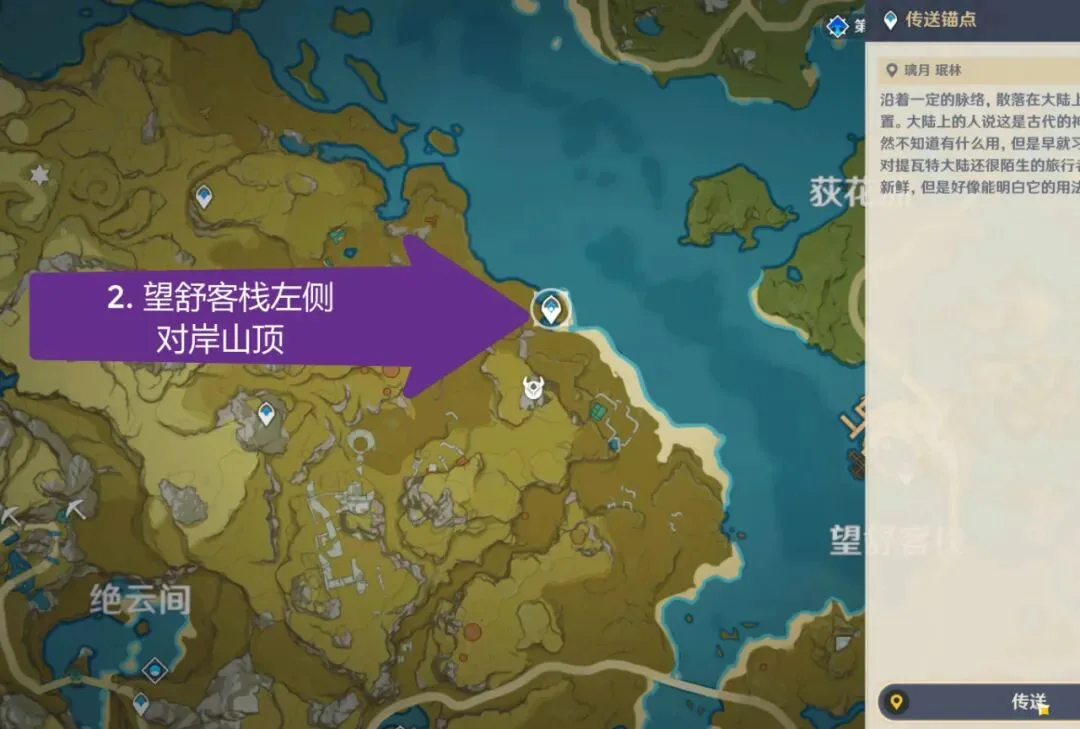
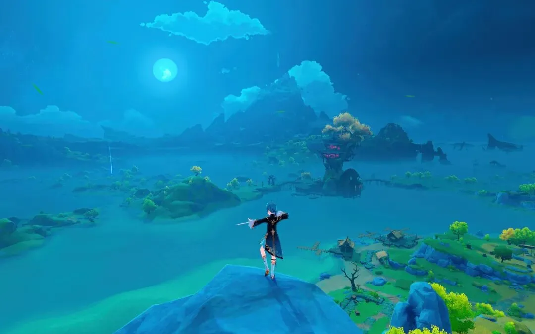
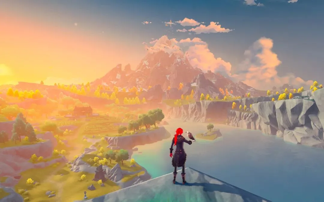
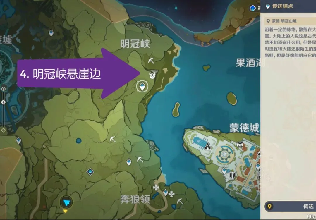
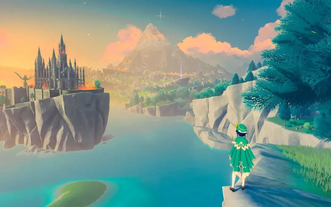
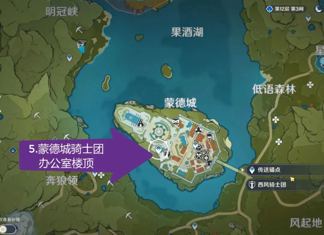
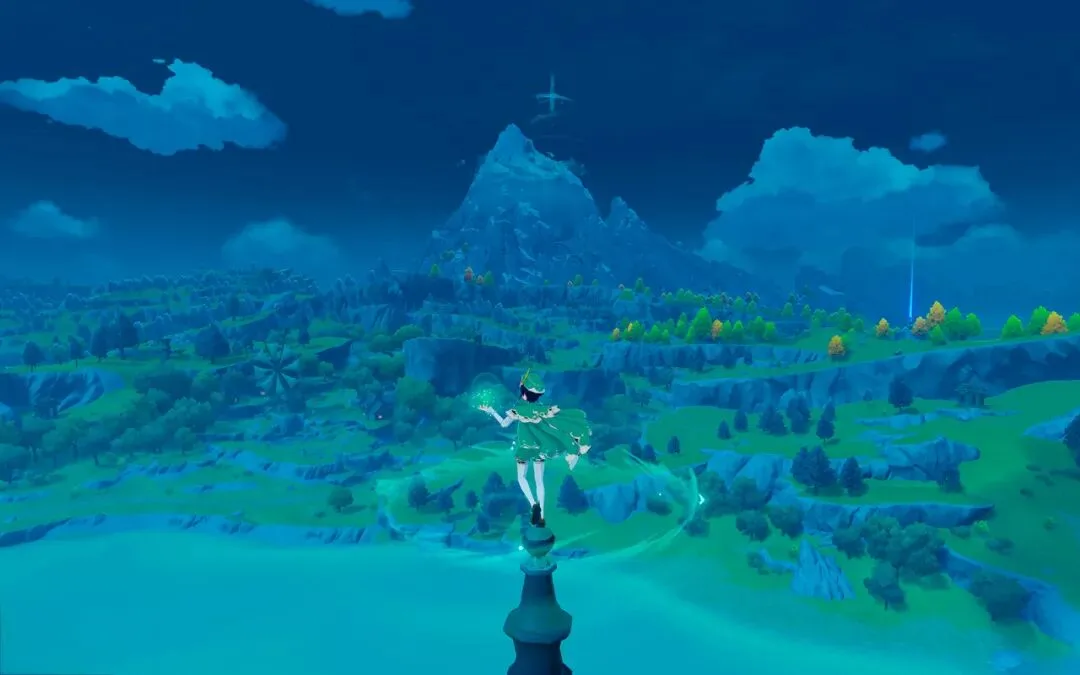
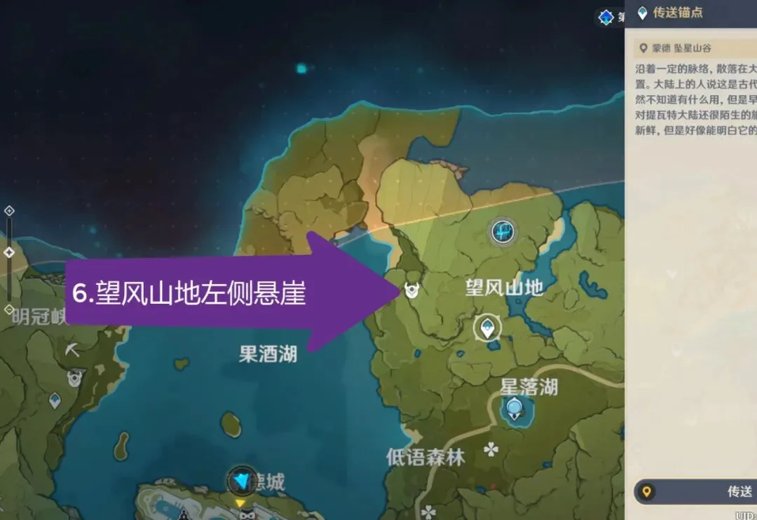
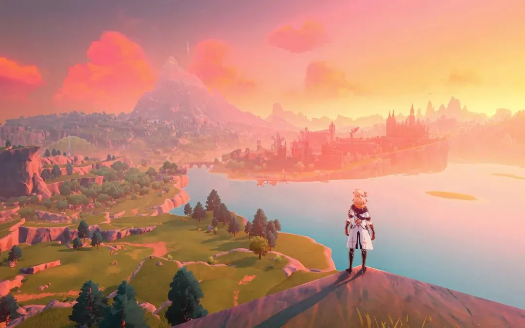
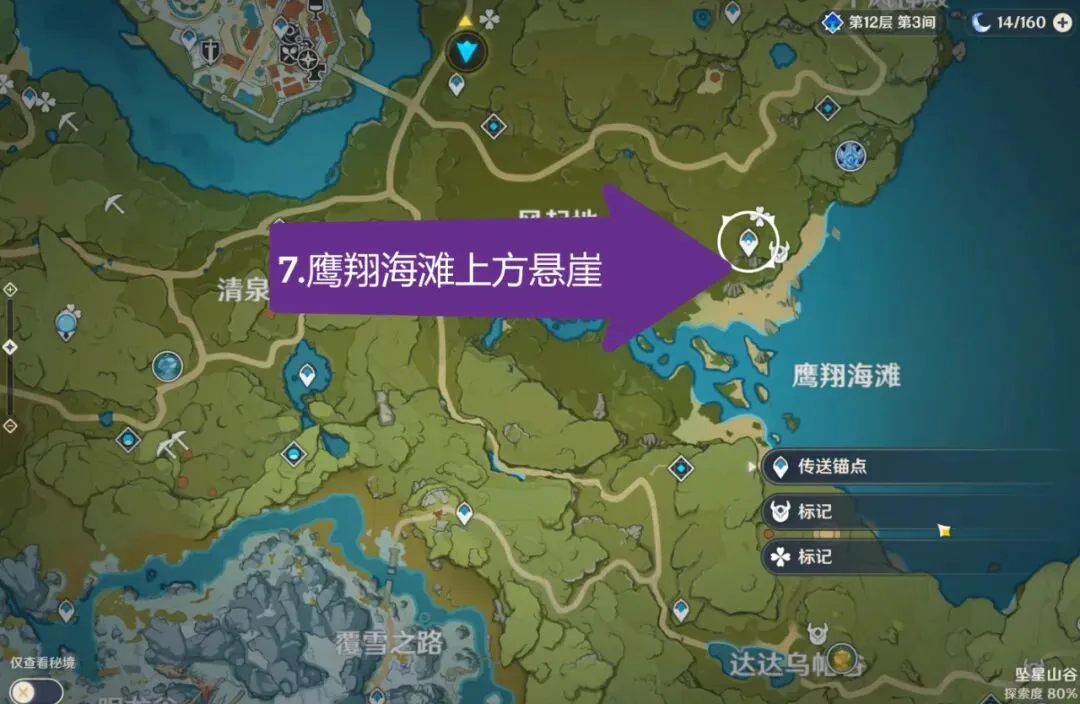
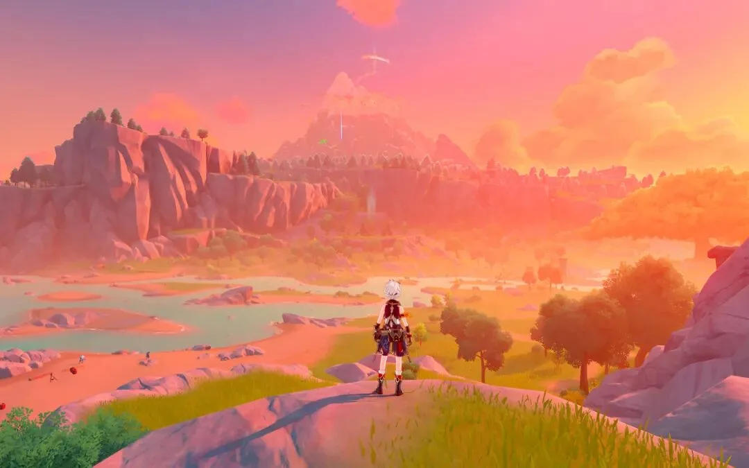
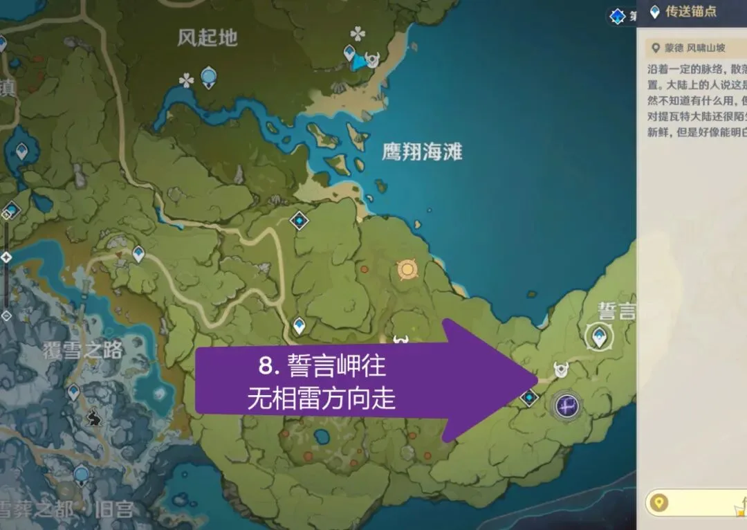
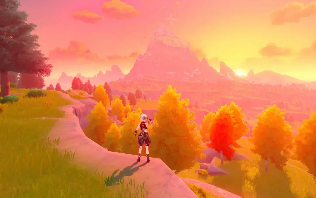
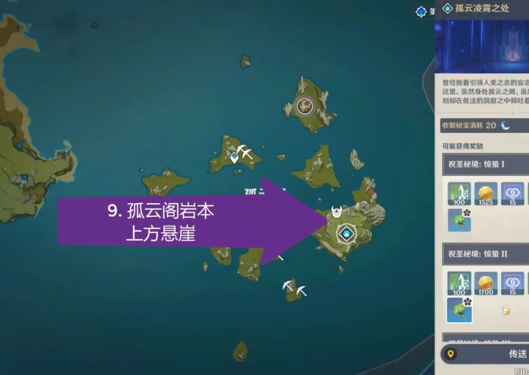
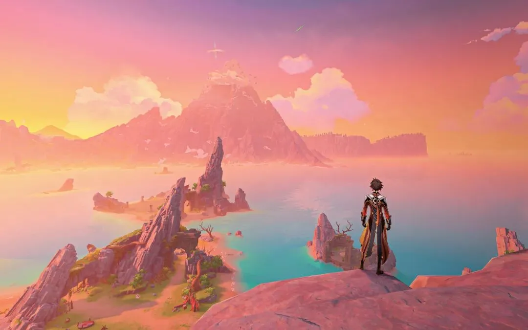
The video closes with a set of map-versus-photo comparisons (at 7:00 in the video): with Dragonspine as the constant background, Thomas shows more spots found from the map alone — the summit behind a waypoint, a rise that begins a route, tents at a night camp, a canyon at sunset — analyzing each time why that point and why that hour. One mountain, paired with different foregrounds and light, grows into a whole library of vantage points.
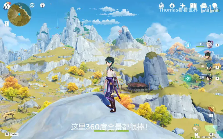
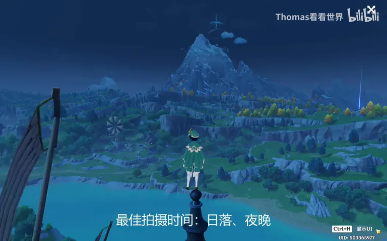
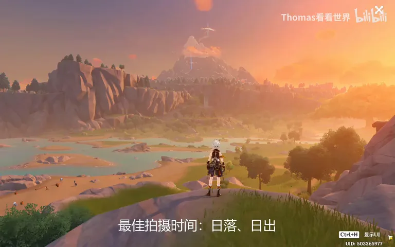
1. A map can't give you a foreground, but it locks the middleground and background — rivers, lakes, bridges and snow mountains are all directly discoverable; 2. Fix the background first, find middlegrounds on the map, add the foreground on site — the right order makes scouting efficient; 3. Arrival is a round of elimination: if a hill blocks the peak, move; if trees clip the curve, edge closer — the map gives direction, the field gives the last meter; 4. Rehearse the timing too: pre-dawn for sunrise, dusk canyons for sunset — one background plus varied foregrounds and hours builds an entire library of spots.
Read the map, find the scenery
All the scenes below were discovered by me in the game through the map — can you spot some patterns and ideas?